Water data science
IWMI strengthens water security through innovative data analysis and application, as well as novel digital tools. To address critical information gaps, IWMI collects and analyzes data using technologies like remote sensing and compiles fragmented datasets from various public and private sources. This comprehensive approach equips researchers, policymakers, and communities with the data and information they need to make informed decisions and manage water resources effectively.
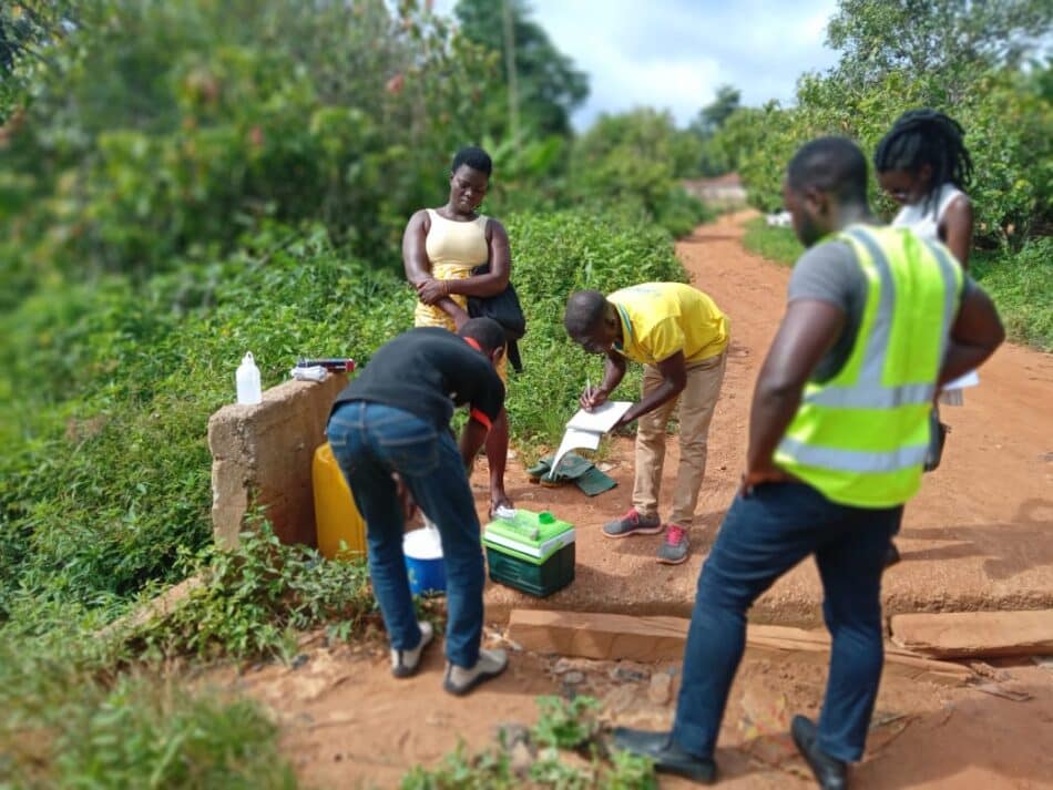
Our research in action
To improve access and analysis, IWMI makes its data publicly available through Open Access platforms and offers user-friendly digital dashboards that integrate real-time monitoring and practical insights. These platforms empower experts to address water- and climate-related challenges, and engage citizens in water management and climate adaptation activities. Custom tools enable communities to track water quality, predict floods, and prepare for droughts. IWMI also enhances capacity at local, national, and regional levels.
IWMI’s science-based tools support diverse applications such as water accounting, irrigation management, and climate impact and adaptation assessments. These data-driven solutions include forecasts to anticipate future conditions, scenario analyses to explore potential outcomes, and impact assessments that evaluate policy effects on water, food, and land systems. This ensures that stakeholders have access to the right data for both immediate needs and long-term planning.
Artificial intelligence (AI) further amplifies the effectiveness of IWMI’s data tools, with machine learning models assisting in real-time monitoring and precise water resource mapping. By incorporating AI technologies within frameworks that prioritize gender equity and social inclusion, IWMI ensures that digital tools support equitable participation and inclusive water management for all communities.
Contact

Latest news

Climate change is raising the stakes for water security in the Indo-Pacific

In the face of water scarcity, adaptation interventions become key for paddy farmers

As pressure mounts, water and food security demand action
Explainer: Citizen Science
Latest publications
The Multidimensional Digital Inclusiveness Index Scoring Dashboard (Version 2.0): A Tool for Visualizing Digital Inclusiveness and Innovation Performance within the CGIAR Framework

Stakeholder Profiling and Innovation Scaling Demand Signaling in Bangladesh
Regional Strategic Roadmap: East Africa 2024–2030