Water data for climate resilience
As climate variability and extremes increasingly challenge water security across the globe, the International Water Management Institute (IWMI) is stepping up its efforts to provide data-driven solutions that strengthen resilience and inform adaptive responses. IWMI collects and integrates data to improve the assessment of the impacts of climate change on water resources and extremes.
IWMI develops models, tools and methods to assess the effectiveness and tradeoffs of adaptation under a range of future scenarios to ensure that climate change adaptation is based on scientific knowledge of (local) future climate change. IWMI’s work:
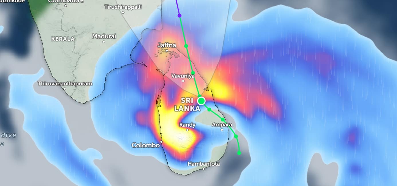
- Assesses climate and water risks and develop knowledge products, platforms and dashboards to support anticipatory action to manage current and future risks at multiple scales
- Develops methodologies and tools for hydrological forecasting on timescales ranging from weeks to decades to improve management of water, land, food and ecosystems
- Creates technical tools to help stakeholders (e.g., government, private sector and farmers) manage climate risks and extremes
- Expands methods and tools for addressing water management issues in Asian and African urban areas
Contact

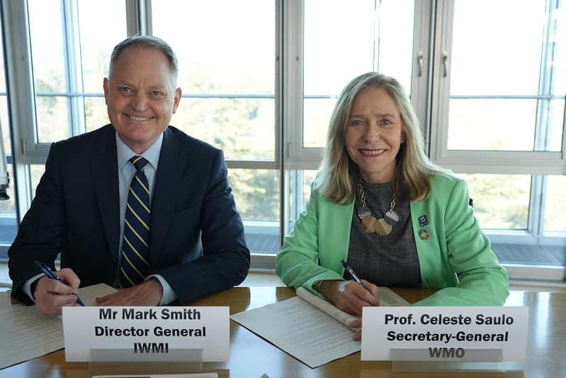
Giriraj Amarnath
Research Group Leader – Water Data for Climate Resilience / Principal Researcher – Disaster Risk Management and Climate Resilience
Latest news on this topic


Latest publications on this topic
Journal Article
Contribution of the Use of Microbiologically Contaminated Water in Slaughterhouses to Food Safety Risks
Elsevier | March 27th, 2026

Working Paper
Water Data for Sudan’s Water, Food, and Environmental Systems
International Water Management Institute | March 27th, 2026
Report
Perceived Economic Viability of Resilient Nature-Based Water Solutions in the Middle East and North Africa Region
International Water Management Institute | March 27th, 2026