In Mexico, the International Water Management Institute (IWMI) is working with the National Water Commission (CONAGUA) to address water security challenges in the country.
Earlier this year, IWMI Director General Mark Smith was received by the former Head of Office of the General Director of CONAGUA, Mauricio Rodriguez Alonso. They discussed how the presidential vision for water security could be achieved using AI, Earth Observation data and data analytics.
Among the most pressing challenges, Rodriguez pointed out: monitoring the use and availability of water, monitoring the impact of technification of 17 irrigation districts, river sanitation and improving water quality in alignment with the main instruments that support current public water policies, the National Agreement for the Human Right to Water and Sustainability and the National Water Plan.
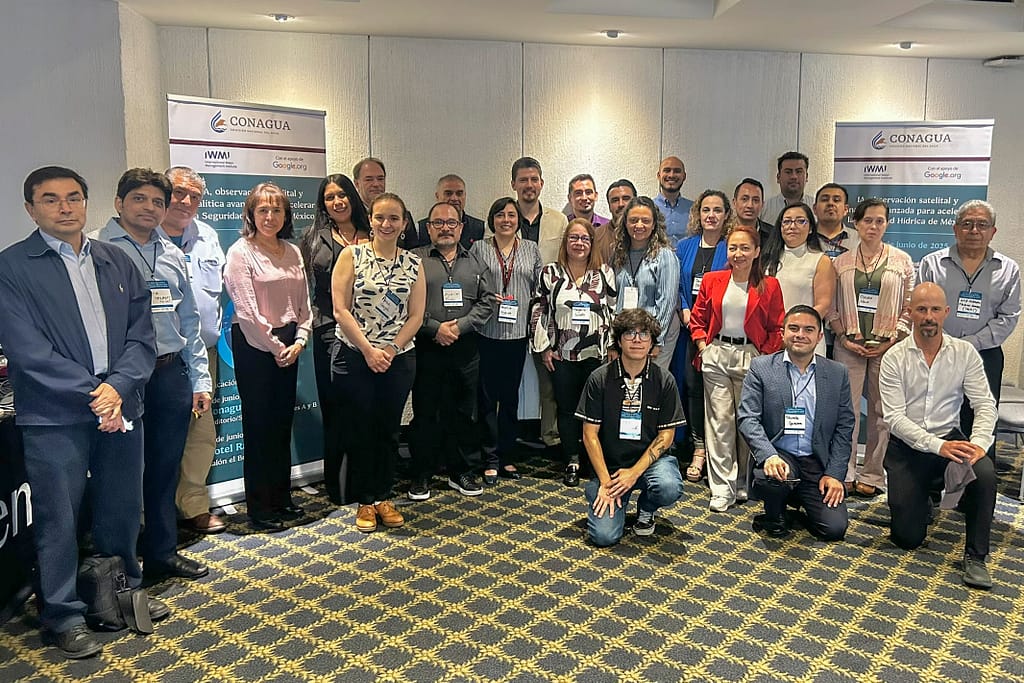
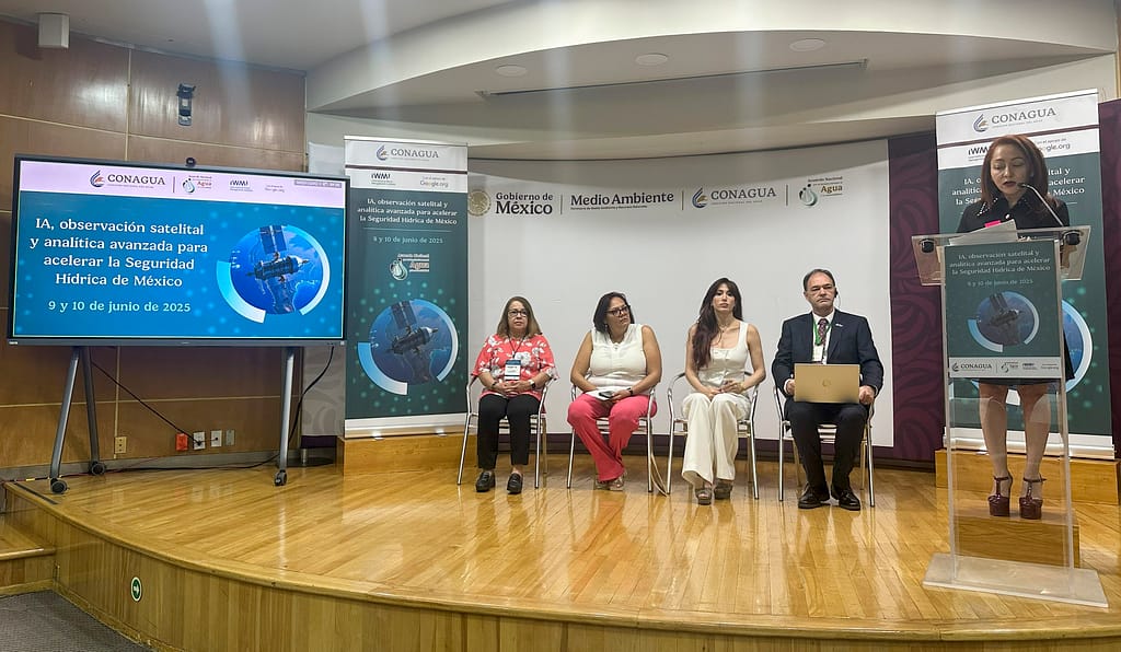
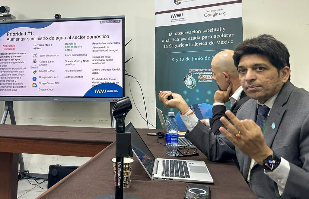
To deepen the understanding of these challenges, IWMI and CONAGUA with the support of Google.org held a workshop in Mexico City on June 9-10 on “Improving water resilience through the use of Artificial Intelligence, satellite observation and advanced analytics.”
Joining forces to address complex challenges
During the workshop, Claudia Hernández Fernández, General Director of Environmental Restoration of the Ministry of the Environment and Natural Resources, indicated that environmental restoration is a key priority of the current administration, particularly in the Tula, Atoyac and Lerma-Santiago river basins. She highlighted the role of technology to obtain information faster for more accurate and quicker decision-making and effective monitoring.
Paola Félix Díaz, General Coordinator of the National Agreement for the Human Right to Water and Sustainability and International Cooperation, spoke on behalf of the General Director of CONAGUA, Efrain Morales. She expressed the importance of working jointly to implement the National Agreement for the Human Right to Water and Sustainability and the National Water Plan.
IWMI’s Director of Water Data Science Ian Overton spoke about the increasing complexity of water management. He said: “To address complex water management challenges, IWMI works with interested parties to turn data into actionable information by using digital tools throughout the process.”
The potential of digital innovation
The workshop explored the potential of digital innovation and AI in water management.
Ramiro Salinas Revollo, Climate Change Specialist for Latin America and the Caribbean from the United Nations Climate Technology Centre and Network, shared examples of satellites and applications for Earth Observation applied to drought monitoring (Sentinel-2, GEOGLAM) and water quality (Global Surface Water Explorer), Artificial Intelligence for leak detection (UK-based Thames Water) and intelligent irrigation (CropX, PrecisionHawk) as well as a combination of those technologies for flood forecasting and digital watershed models.
“Can we share up-to-date information with citizens, users and decision-makers at the same time and in a simple and transparent way today? And how can that improve water management with AI,” asked Mariangel García Andarcia, Research Group Leader Water Futures and Data Analytics at IWMI. Technology is advancing rapidly, and challenges range from data collection, fragmentation and volume, to infrastructure limitations and training gaps. She urged that it is countries and organizations who decide the rhythm of adoption.
García Andarcia explained the evolution and integration of AI, machine learning, deep learning and generative AI, and its potential for improving water management on a daily basis to simulate scenarios, plan and design water infrastructure, detect gaps in public policies and improve communication with stakeholders. She presented examples co-developed by IWMI, for instance, the digital twin for the Limpopo River basin in southern Africa. She pointed out the potential of creating a dependable and scalable digital infrastructure, emphasizing on the need to develop local capacities while advancing these processes.
Challenges and solutions for water quantity and water quality
The workshop offered space for listening, learning and exchange between the technical officials from CONAGUA who are focusing on water availability, quality and irrigation, and the water experts from IWMI.
Claudia Nava, Assistant Manager of Water Quality and Environmental Impact Studies, for instance, said: “The objective is to elaborate and calibrate a mathematical model to evaluate the quality of a lentic water body or coastal water bodies through remote sensing (…). We know that the information obtained through satellite images is never going to be equal to all the parameters that the laboratory can obtain. However, it does give us a reference, and we will not have to wait so long to process the information, nor have so many resources to be able to obtain the water quality. This would basically be like a first alert system.”
IWMI’s water experts delved deeper into the priorities identified through the exchanges and explored possible ways to address them. For example, they suggested to enhance the domestic water supply through improved water availability, distribution and usage mapping; to improve water quality and river sanitation through an increase in wastewater treatment and reuse; and to understand the impact of technification in irrigation through monitoring irrigation districts. They elaborated on the type of information that is required for diagnostic purposes and how Google tools could help obtain such information. They discussed regions where projects have been implemented and possible outcomes to expect.
Among the solutions showcased by IWMI were Water Accounting Plus (WA+), a framework for enhancing domestic water supply, as well as hydrological tools for high-resolution river discharge monitoring and flow forecasting. AI-based automatic detection and computer vision-based tools can be used for monitoring wastewater treatment plants and can support decision-making to prioritize wastewater reuse. Innovations in water quality monitoring with remote sensing and AI, and quality modelling can enhance pollution control.
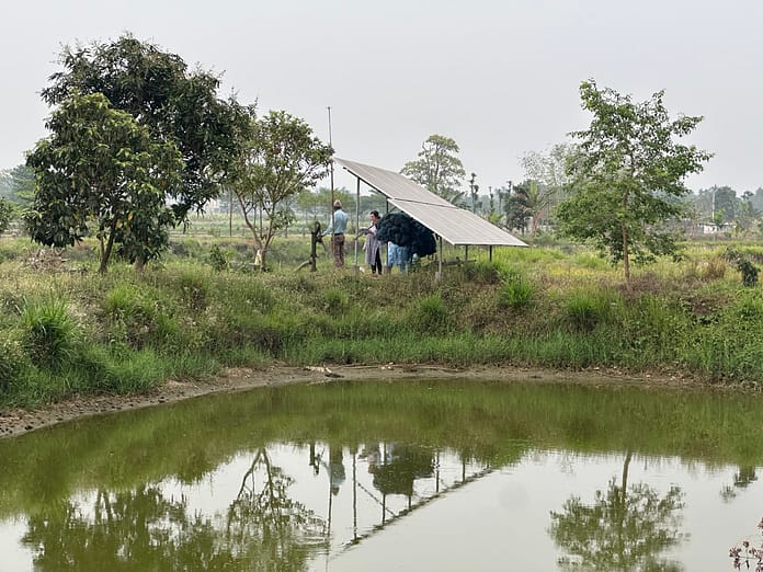
IWMI’s experts also offered insights into determining the impact of investments and technification in irrigation districts. They highlighted that satellite data is used to assess on-plot water management interventions, for example in Ethiopia and Zimbabwe, while at the pre-investment stage, irrigation systems can be assessed for example with the Irrigation Performance Assessment Tool (IPAT).
Dedicated working groups explored the challenges and solutions related to water quantity and water quality.
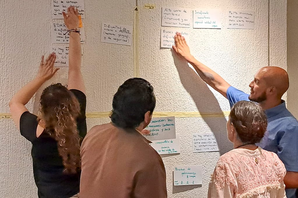
One of the central questions regarding water availability is: how can decisions be made if there is no correct measurement of the hydrological cycle or if there is no data available? To enhance the understanding of water quantity, workshop participants explored how to tackle the challenge of incomplete data by integrating field measurements with satellite information, considering that CONAGUA needs a comprehensive national overview. Deploying AI models to fill information gaps and refine current applications will also help to maximize the value of existing data and creating reports to obtain critical insights.
When it comes to water quality, participants proposed leveraging remote sensing for broad scale assessments, and employing AI and advanced analytics to process data from existing monitoring stations, providing a deeper, more immediate understanding of water conditions. Furthermore, using remote sensing and AI could help to identify and characterize wastewater treatment plants, allowing to generate crucial diagnoses of their operational status and guide investment decisions.
Going forward, IWMI, Google.org and CONAGUA will advance the analysis of specific innovative solutions for addressing water data gaps at national scale and improving water quality of rivers through water reuse, as they allow more informed decisions, improved resource allocation and, ultimately, healthier water systems for everyone.