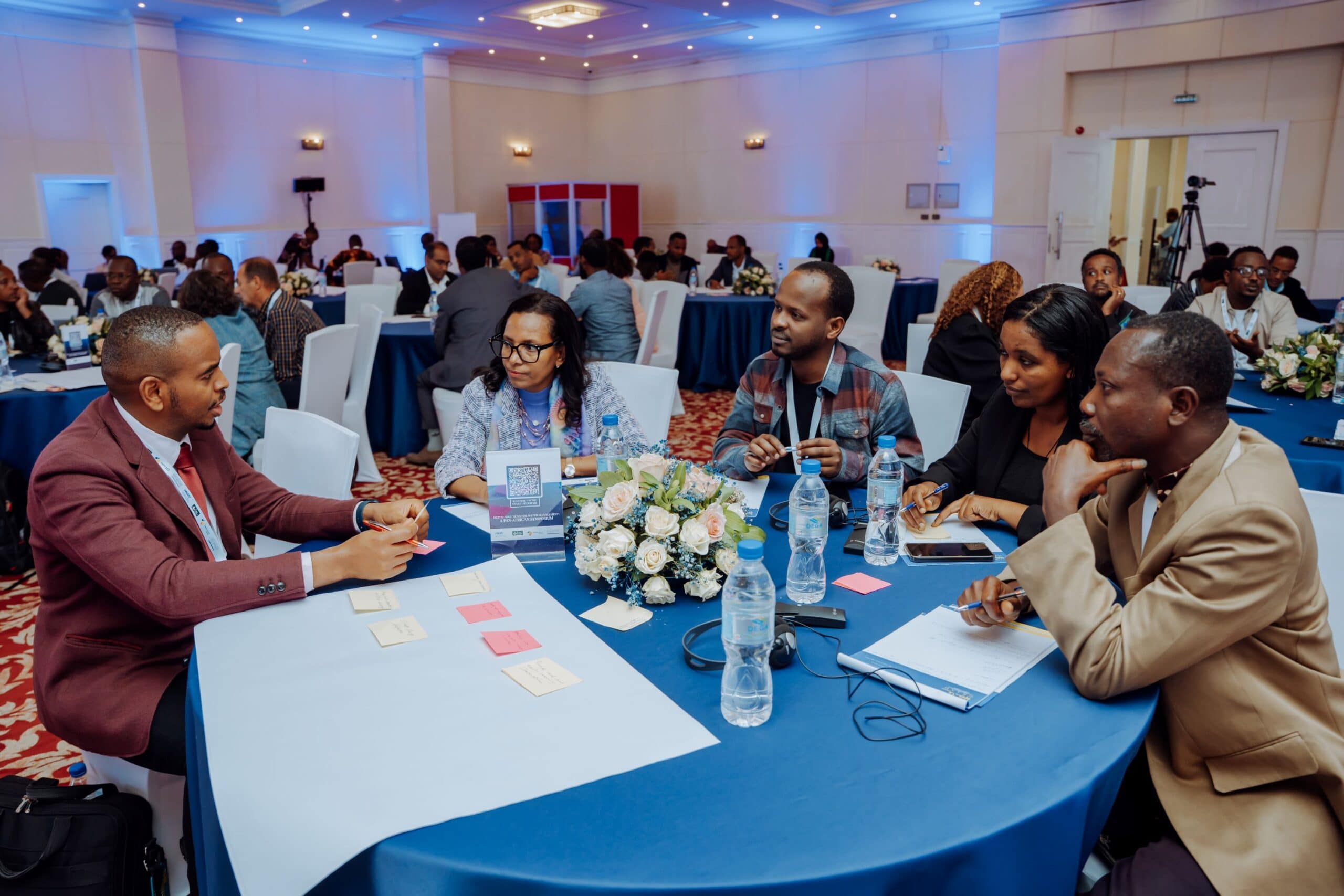
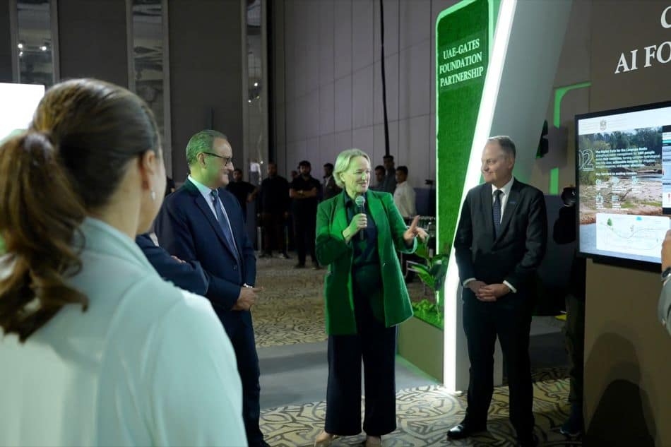
IWMI harnesses AI, advanced analytics and digital technologies to confront pressing challenges like water scarcity and climate risks. Its mission centers on enhancing water management and building resilience by equipping decision-makers with cutting-edge tools such as digital twins, remote sensing technologies and advanced AI methods. These innovations improve forecasting, bridge data gaps and enable real-time monitoring, particularly in climate-vulnerable and transboundary water systems, ensuring sustainable access for future generations.
IWMI drives innovation through AI-powered water management solutions and advanced data processing. Researchers integrate Big Data and Internet of Things (IoT) solutions to map water resources with precision and to support river basin management. To address water security, IWMI develops sustainable infrastructure technologies that optimize resource allocation and mitigate risks, while its inclusive water data ecosystems enhance governance transparency. By blending citizen science with digital platforms, it creates FAIR data frameworks that empower proactive decision-making and foster global partnerships for scalable impact.
Additionally, IWMI prioritizes accessibility by offering inclusive digital tools and community-driven platforms, ensuring marginalized groups gain critical water information and participate equitably. Through stakeholder collaboration and trustworthy AI, it tests emerging technologies like generative AI in diverse scenarios, aiming to bridge the digital divide. Its efforts shape a future where water management is smarter, more resilient, and inclusive for all.
This paper reviews the current state of high-resolution remotely sensed soil moisture (SM) and evapotranspiration (ET) products and modeling, and the coupling relationship between SM and ET. SM downscaling approaches for satellite passive microwave products leverage advances in artificial intelligence and high-resolution remote sensing using visible, near-infrared, thermal-infrared, and synthetic aperture radar sensors. Remotely sensed ET continues to advance in spatiotemporal resolutions from MODIS to ECOSTRESS to Hydrosat and beyond. These advances enable a new understanding of bio-geo-physical controls and coupled feedback mechanisms between SM and ET reflecting the land cover and land use at field scale (3–30 m, daily). Still, the state-of-the-science products have their challenges and limitations, which we detail across data, retrieval algorithms, and applications. We describe the roles of these data in advancing 10 application areas: drought assessment, food security, precision agriculture, soil salinization, wildfire modeling, dust monitoring, flood forecasting, urban water, energy, and ecosystem management, ecohydrology, and biodiversity conservation. We discuss that future scientific advancement should focus on developing open-access, high- resolution (3–30 m), sub-daily SM and ET products, enabling the evaluation of hydrological processes at finer scales and revolutionizing the societal applications in data-limited regions of the world, especially the Global South for socio-economic development.
Forecasting / Drought / Decision making / Algorithms / Modelling / Evapotranspiration / Soil water content / Remote sensing Record No:H053823
Digital innovations can offer solutions to various food, water, and land systems challenges globally. However, there are concerns on the ethical and social inclusivity aspects of these innovations, particularly for marginalized groups of people in less industrialised countries. In this article, we describe the design and development of a digital inclusivity framework, which builds from a detailed synthesis of inclusivity in digital literature. Key insights from the review were collated into five dimensions: risk mitigation, accessibility, usability, benefits, and participation. These dimensions can be assessed by means of twenty-one concrete and measurable sub indicators. Our focus was to enable a more holistic approach to the usually technocentric design of digital innovations. The framework, including the associated indicators, lays the groundwork for the development of a digital inclusivity index, a tool for assessing and fostering the inclusivity of digital innovations in food, water, and land systems.
Land resources / Water systems / Food systems / Natural resources management / Frameworks / Social inclusion / Digital innovation Record No:H053819
Southern Africa faces significant impacts of El Nio primarily in the form of droughts. Zambia is not an exception. Standardized Precipitation Index (SPI), rainfall anomaly and Vegetation Condition Index (VCI) are robust indicators for drought studies due to their distinct and complementary roles. Our results reveal severe meteorological drought conditions in Zambia using SPI and rainfall anomaly. VCI values have declined in the cropping season due to vegetation stress induced by water deficit conditions. Low rainfall leads to widespread deterioration of crop production, with approximately 40.46% of the country experiencing drought conditions in 2023–2024. The Central, Eastern, Southern, Lusaka, and Copperbelt provinces showed lower VCI values in March and April 2024, indicating poor crop health and drought-like conditions. On the other hand, low rainfall has substantially influenced hydropower reservoirs. Significant surface water loss is observed in the hydropower reservoirs such as Itezhi Tezhi Dam (117.40 sq. km), Mita Hills Dam (25.72 sq. km) and in parts of Lake Kariba (58.72 sq. km) between December 2023 and April 2024. This loss has disrupted industries relying on water resources and hindered hydropower generation, leaving substantial portions of the population without electricity for extended periods. The present study aims to explore the power of open access Earth Observation data and cloud analytics to evaluate the extent and multi-sectoral impact of the recent drought in Zambia. Results highlight the upcoming challenges the country might face in food and nutrition and the critical need for stakeholder involvement and policy design to mitigate future crises and strengthen vulnerable communities.
Policies / Stakeholders / Vulnerability / Vegetation index / Dry spells / Precipitation / Rainfall / Satellite observation / Hydropower / Assessment / Drought / El Nio Record No:H053195
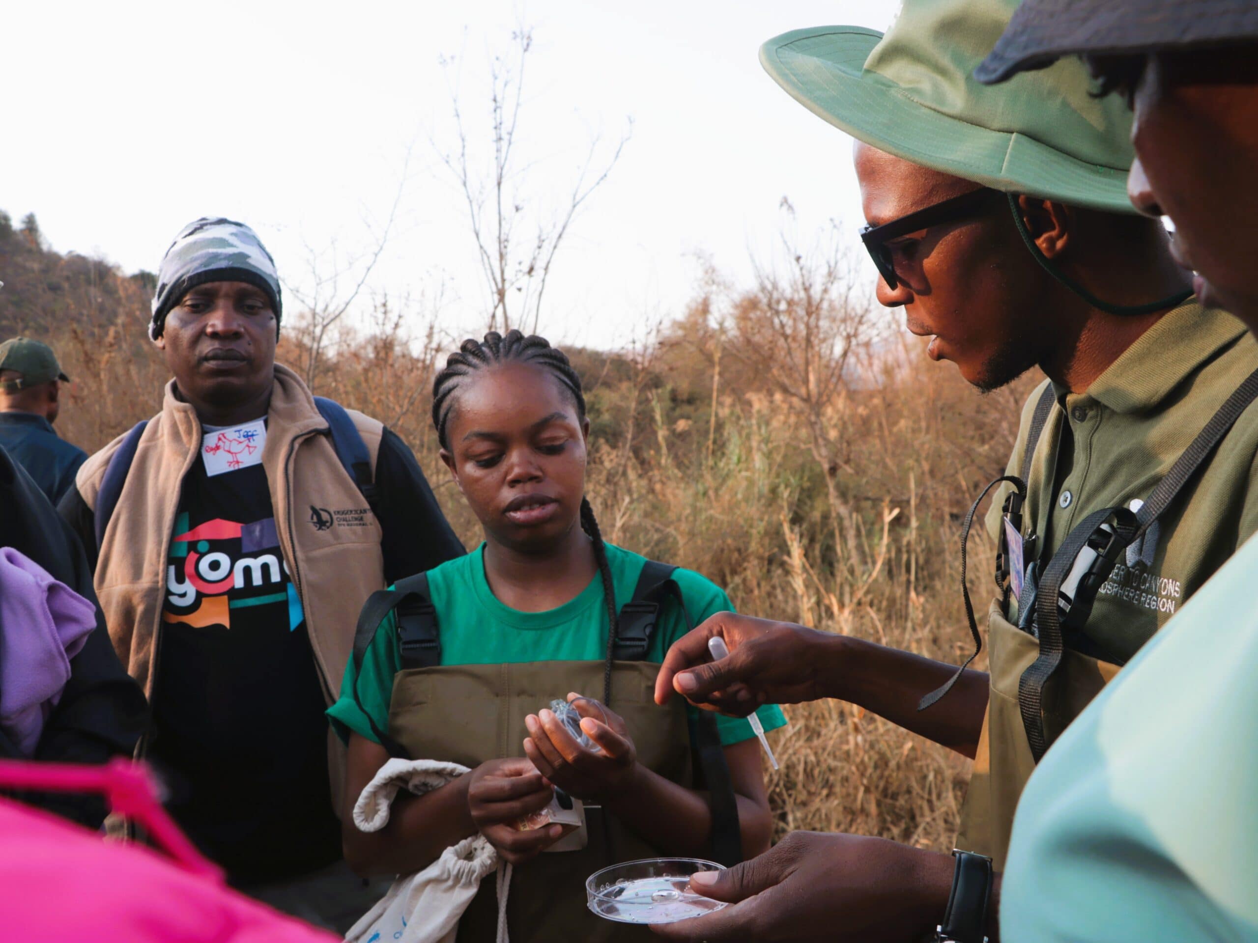
Improved freshwater resource management requires the implementation of widespread, effective, and timely water quality monitoring. Conventional monitoring methods are often inhibited by financial, infrastructural, and human capacity limitations, especially in developing regions. This study aimed to validate the citizen-scientist-operated transparency or clarity tube (hereafter “clarity tube”) for measuring water clarity as a proxy for total suspended solids (TSS) concentration, a critical quality metric in river systems and wastewater treatment works (WWTW) effluent in Southern Africa. Clarity tubes provided a relatively accurate and precise proxy for TSS in riverine lotic systems and WWTW effluent, revealing significant inverse log- linear relationships between clarity and TSS with r 2 = 0.715 and 0.503, respectively. We demonstrate that clarity-derived estimates of TSS concentration (TSScde) can be used to estimate WWTW compliance with WWTW effluent TSS concentration regulations. The measurements can then be used to engage with WWTW management, potentially affecting WWTW performance. Overall, these findings demonstrate the usefulness of clarity tubes as low-cost, accessible, and easy-to-use citizen science tools for high spatial and temporal resolution water quality monitoring, not only in rivers in Southern Africa but also in WWTW effluent for estimating compliance, with strong global relevance to the sustainable development goals (SDGs).
Parameters / Monitoring / Freshwater / Rivers / Water quality / Wastewater treatment / Citizen science Record No:H053559