Pakistan
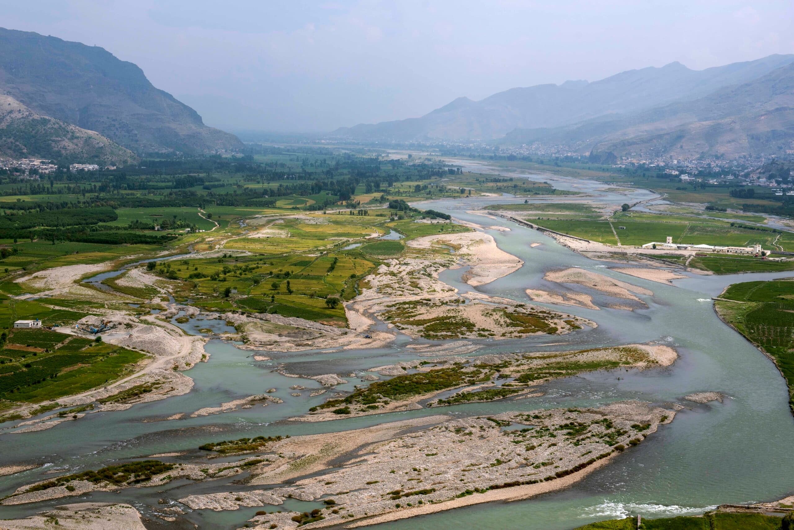
Agriculture is the backbone of Pakistan’s economy, contributing 18.5% to its gross domestic product and employing 38.5% of the country’s labor force. Despite substantial investments, particularly in irrigation, land and water productivity is very low due to a number of factors. A massive 95% of freshwater is used for agriculture, and as much as 60% of this is lost due to inefficiency. Pakistan has the capacity to store rainwater for only 30 days during the three-month monsoon season, limiting the water supply needed for year-round irrigation. A major challenge is the lack of comprehensive and accurate information on the availability, storage, distribution and use of water resources at various scales.
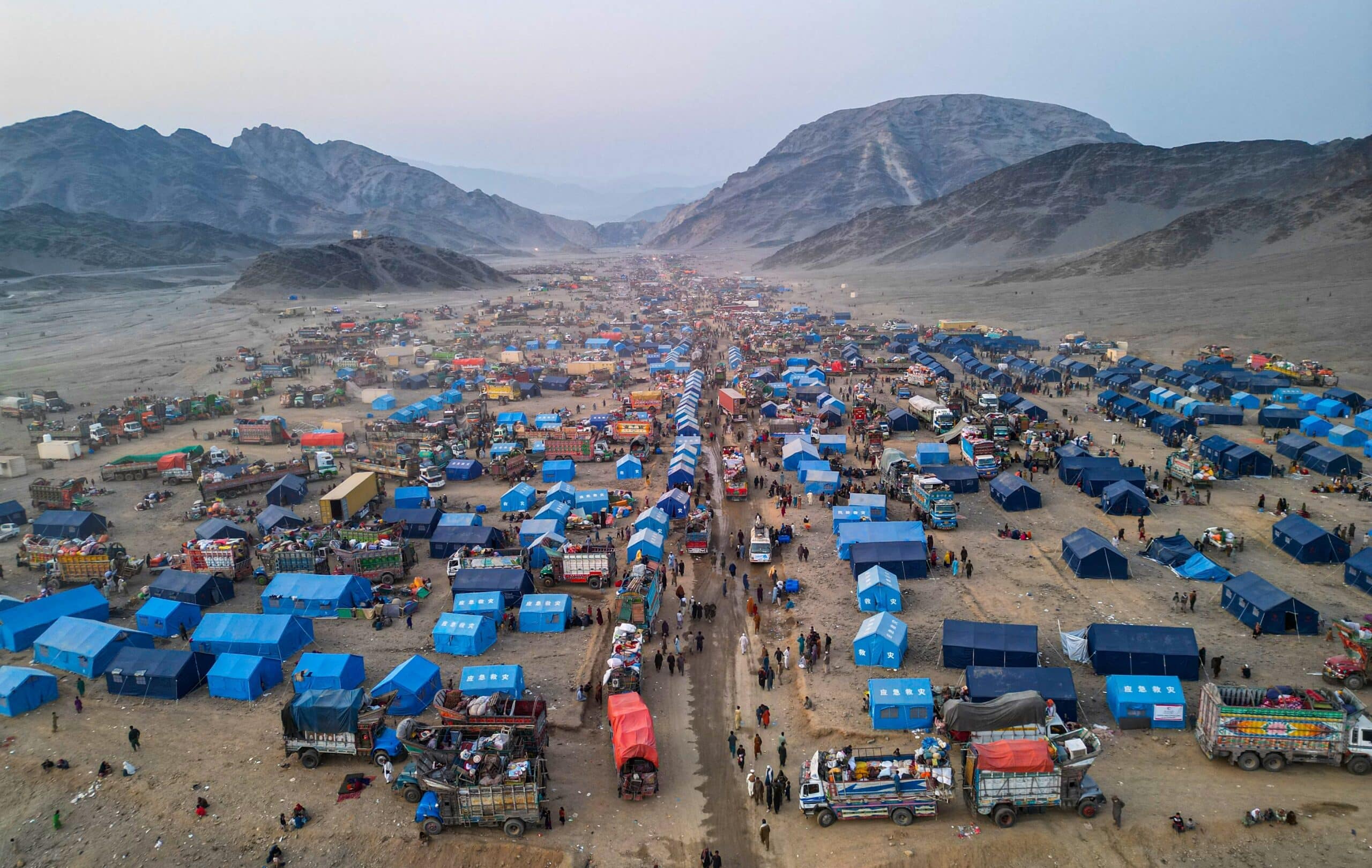
Urbanization is taking place faster in Pakistan than anywhere else in South Asia, overloading already limited resources and services: only 20% of the population has access to safe drinking water and 40% does not have access to decent sanitation facilities. Furthermore, the country has faced catastrophic floods, droughts, cyclones and heat waves in recent years; these have killed or displaced thousands of people, destroying livelihoods and taking a heavy toll on the economy.
IWMI in Pakistan
IWMI has been working in Pakistan since 1986, focusing on improving water management and agricultural productivity in the Indus River Basin. Key areas of work include disaster risk monitoring, irrigation modernization, and building water-use efficiency at farm, irrigation, and basin scales. IWMI collaborates with federal and provincial governments to design policies that integrate water, food, and climate change issues, while strengthening institutions for better water governance. The institute also supports capacity building in agricultural water management and works to enhance resilience in the face of climate change.
IWMI’s efforts extend to groundwater management, with projects like mapping aquifer recharge zones in Balochistan and implementing solar irrigation systems to boost agricultural resilience. IWMI also works on improving water resource accountability, developing a comprehensive groundwater information system, and promoting sustainable water use practices. IWMI’s research and innovative solutions are helping Pakistan achieve its Sustainable Development Goal targets, while also improving livelihoods and food security in the country’s rural areas.
Country representative

Get updates
Be the first to know about IWMI research, data, events, and news related to Pakistan.
Latest Pakistan news
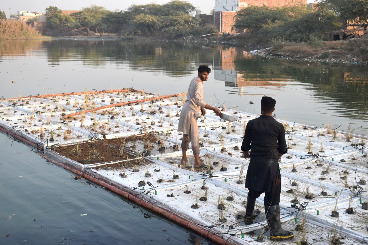
A floating wetland offers a blueprint for cleaning wastewater
November-December 2025 Research Journal Roundup
How systems thinking can drive a more water-secure future for Pakistan
How communities in fragile settings shape climate resilience
Latest Pakistan publications
رفع مستوى الوعي بين المزارعين بشأن إدارة المياه الجوفية والخدمات الاست

Gender equality and social inclusion in focus: key insights from Solar Irrigation for Agricultural Resilience (SoLAR)
Setting up Indus Telemetry for canal flow monitoring: a learning experience