
Yakob Umer
Regional Researcher - Water Risks and Data Science Specialist
Yakob Umer served as a Post-doctoral researcher at Faculty of Geo-information science and earth observation, Department of Applied earth science – Natural hazard and risk reduction research group, University of Twente, Netherlands. He contributed to an integrated landslide early warning system in Indonesia using open sources geospatial databases and a hydrometeorological modeling system.
Umer has experience in project coordination, assisting Master of science students with project work, regular courses and theses. He holds a Doctor of philosophy focusing on exploring open-source geospatial datasets and advances in hydrometeorological modeling systems to improve urban flood hazard assessment in scarce data areas. Umer holds a Master of science from IHE Delft Institute for Water Education in Hydroinformatics, focusing on flood hazard mapping in data-scarce areas.
Latest news for Yakob Umer
Do national weather forecasts help farmers make daily decisions?

Can risk mapping safeguard livelihoods in Ghana’s flood-prone White Volta Basin?
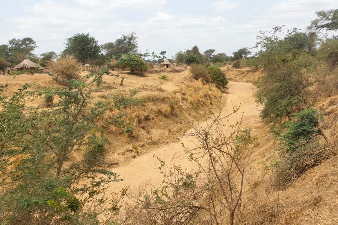
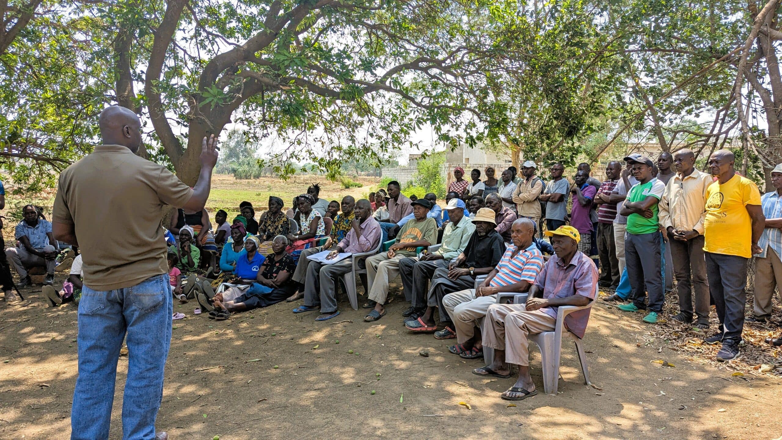
IWMI pilots index-based flood insurance in Zambia
Creating a roadmap in the Songwe to unlock its potential
Latest publications by Yakob Umer
Climate and Water Risk Profile of Jerash Refugee Camp, Jordan

A Framework for Integrated Watershed and Climate Risk Hotspot Mapping to Support Adaptation Strategies in Refugee Camp Landscapes in Jordan
Climate resilience in Jordan’s Jerash camp: integrating government plans, humanitarian action and climate investment