
Hafsa Aeman
National Researcher – Remote Sensing and GIS
Areas of expertise
cartography Artificial intelligence (AI) Geographic Information Systems (GIS) machine learning synthetic aperture radar (SAR) interferometric synthetic aperture radar (InSAR) remote sensingHafsa Aeman is a geospatial scientist who has contributed to projects such as Microsoft and NatGeo funded AI4GLOF focusing on glacial lake outburst flood risk assessment and on satellite image processing, classification and GIS-based web mapping applications.
Aeman specializes in remote sensing and GIS, with a focus on water resource availability and accessibility. She has experience in applying earth observation data to develop water-related indicators using consistent methodologies and digital innovation tools for integrated water resources management. Her work broadly focuses on developing sustainable water management solutions under climate change, understanding multi-sectoral water demand and supply and supporting climate-resilient agriculture through machine learning and remote sensing-based approaches.
Latest news for Hafsa Aeman
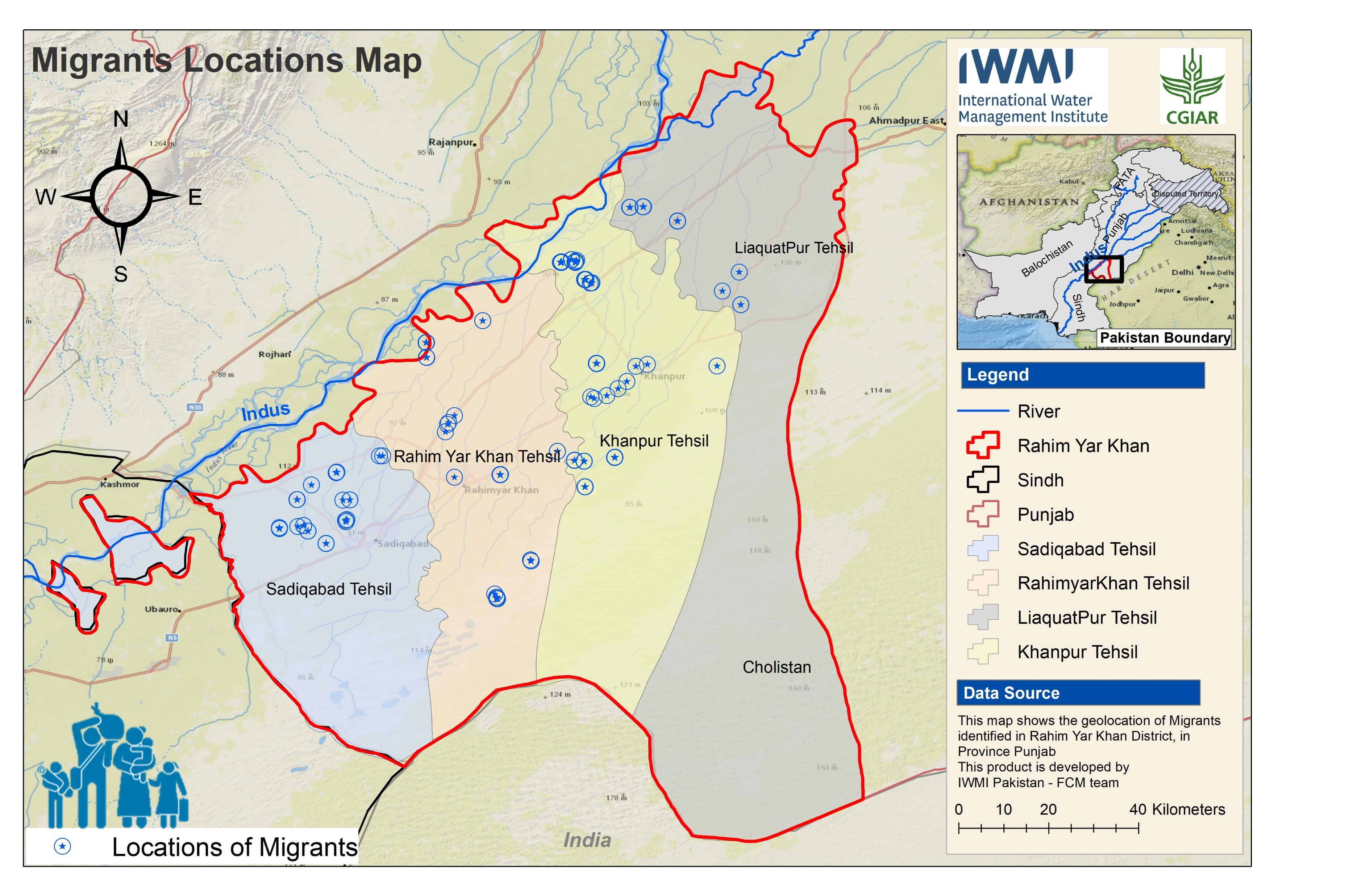
The hidden crisis of disaster displacement and host community struggles in rural areas of Pakistan
Latest publications by Hafsa Aeman
Enhancing Sustainable Groundwater Governance through the Groundwater Management Information System (GMIS): A Case Study of Punjab, Pakistan

Navigating climate change, disasters and displacement in Pakistan: a case study of Rahim Yar Khan
Digital ecosystems and migration responses to climate extremes: case study from Rahim Yar Khan District, Punjab in Pakistan