Several communities in the Somali Regional State in Ethiopia face recurrent and severe flooding. In 2023 alone, floods displaced 1.5 million people, destroyed crops across 2,669 hectares of irrigated land, and caused extensive damage to public infrastructure. In response to this alarming situation — particularly in the Dolo Ado and Bokolmayo Districts, where over 200,000 refugees and host community members rely on humanitarian aid — the International Water Management Institute (IWMI) and the World Food Programme (WFP) are working with the Regional Government, local authorities and communities to improve flood preparedness and response leveraging recent advances in digital technology.
A major challenge in Dolo Ado District is the lack of timely and accurate flood early warnings that can reach vulnerable communities in advance of potential disasters. Limited data availability hinders the development of reliable flood forecast systems, which is a key input for improving timely preparedness against flood disasters.
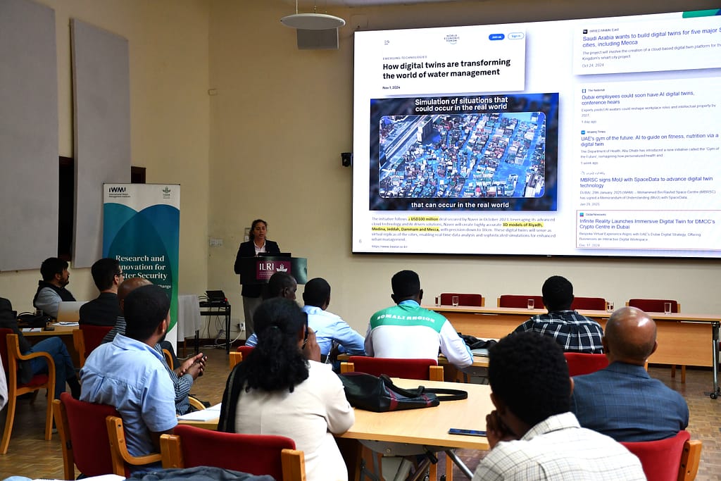
To address this gap, IWMI and WFP are co-developing a Digital Twin (DT) system — a cutting-edge technology that enhances flood forecasting and emergency response.
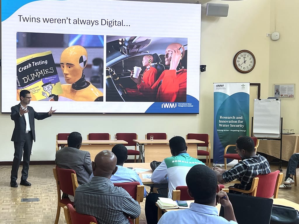
What is a digital twin?
A DT is a virtual replica of a physical system, process or object that is dynamically linked to the real-world system it represents. Unlike traditional simulations that analyze isolated scenarios, DTs are continuously updated in real time to reflect ongoing changes in the physical environment. This allows for more accurate forecasting, better-informed decision-making and faster emergency responses.
IWMI has successfully deployed DT systems in various projects such as the water management DT prototype for the Limpopo River Basin in Southern Africa using digital innovations and open data cubes developed by IWMI under the CGIAR Accelerator for Digital Transformation and Digital Innovations for a Water Secure Africa (DIWASA) program. Drawing on these experiences, IWMI and WFP are now applying this technology to strengthen flood early warning and response systems in Ethiopia’s Somali Region.
Advancing flood resilience with digital twins
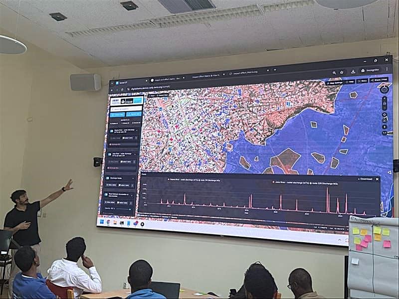
The DT’s platform integrates near-real-time data, like rainfall, river flow and water depth with a high-resolution elevation model of the floodplain, catchment-wide flood forecasting models and a hydrodynamic model of the flood-prone area. By providing a digital version of the floodplain, it enhances stakeholder collaboration that will support coordinated planning for anticipatory action by enabling timely decision-making before disasters strike, and sustainable land use planning through support of long-term resilience and recovery strategies.
According to Paulo Silva, IWMI’s Senior IT Consultant, an effective DT platform requires a high-resolution 3D floodplain model to represent topographic features with sufficient detail and a two-way exchange of data between the real world and its digital twin. This exchange of data relies on real-time sensor networks, flood event forecasts, citizen science inputs and integrated AI Agents.
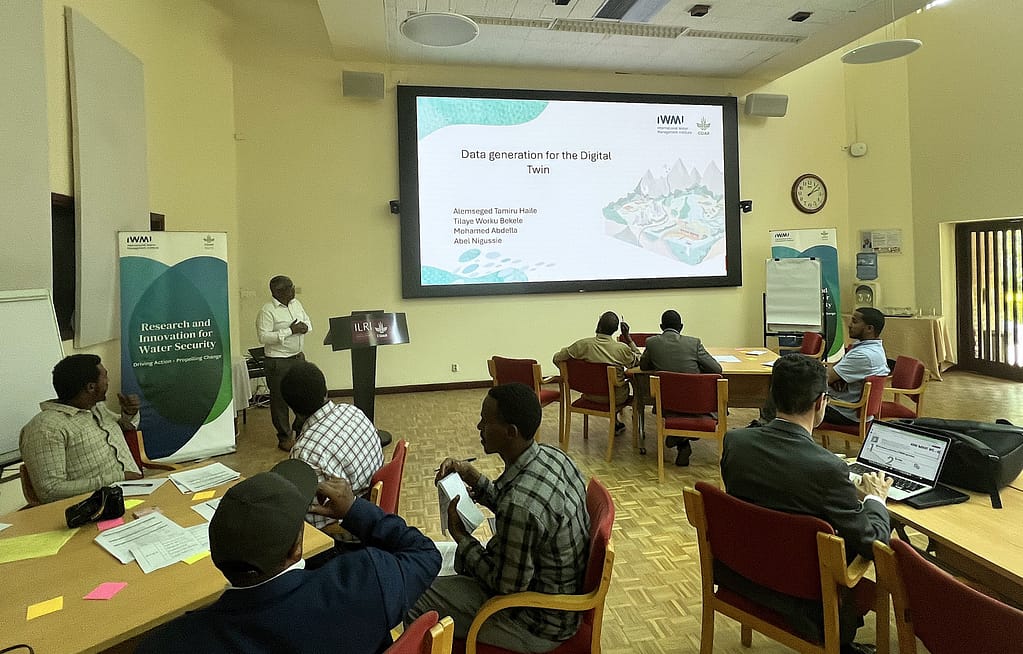
The effectiveness of DTs relies heavily on the availability and quality of flood risk data. IWMI, WFP, and other stakeholders have generated critical data from a combination of field and remote sensing sources, flood forecasts, catchment-wide information and hydrodynamic model simulations.
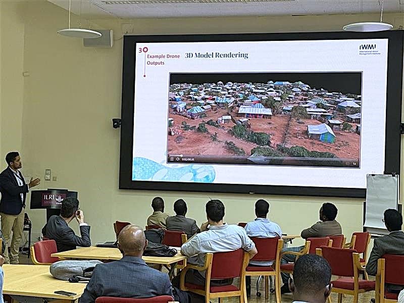
These efforts have led to three major achievements: first, the co-design of flood data types and sources with WFP, the Somali Region Disaster Risk Management Bureau and UNHCR; second, development of core data layers including satellite-based flood maps, land use mapping, hydrological and meteorological datasets, flood zones, boreholes and road networks; and third, the creation of a 3D topographic model for pilot testing, built using drone imagery from flood-prone areas.
Collaborative co-design in action
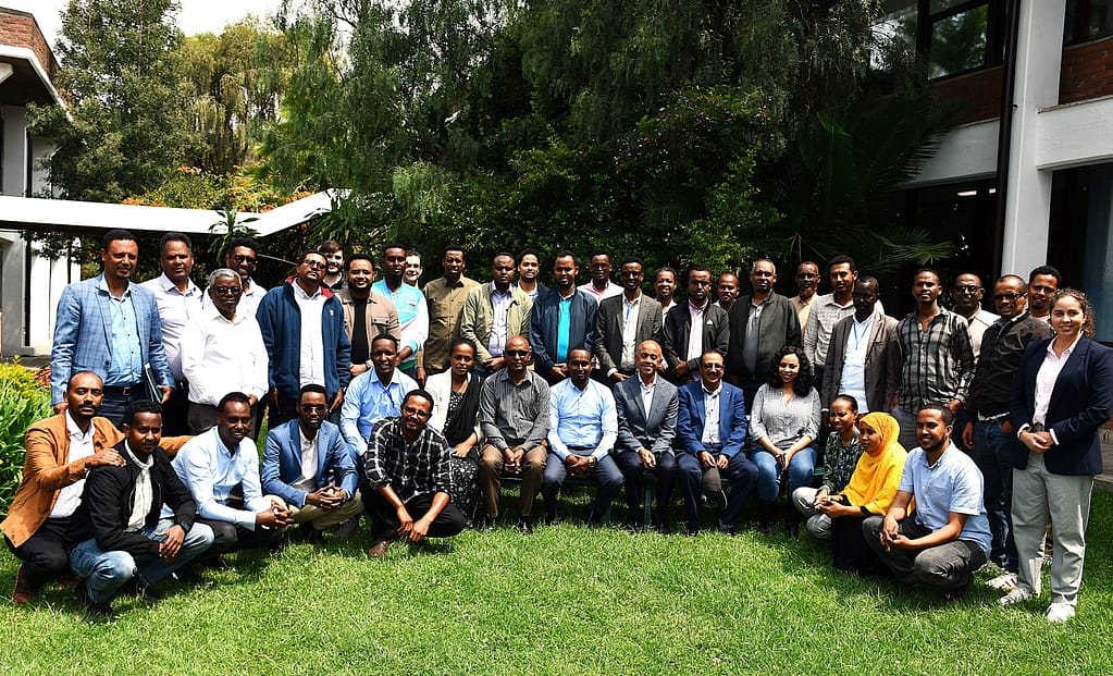
A two-day co-design workshop in Addis Ababa, supported by CGIAR Food Frontiers and Security and CGIAR Accelerator for Digital Transformation brought together 40 experts including disaster risk managers, flood modelers, and researchers from regional and national government agencies and international organizations. Through structured sessions, the workshop laid the foundation for a tailored DT platform for Dolo Ado.
Abiy Wogderes, Geospatial Analyst at WFP, highlighted key challenges facing flood preparedness in the region. “There is a lack of reliable tools to convert rainfall forecasts into actionable flood warnings, insufficient risk maps, limited access to topographic data and inadequate hydro-meteorological station coverage.” These gaps underscore the urgent need for a DT platform that integrates and avails data from various sources.
To guide the platform’s design, IWMI and WFP identified and selected key stakeholders based on their mandates, expertise and engagement on flood resilience initiatives. These stakeholders were then categorized into five expert groups followed by determination of the platform’s end-users.
Building on this foundation, each group nominated a lead end-user or expert representative and carefully assessed the representative’s strengths and weaknesses in generating flood risk information based on defined parameters. The assessment focused on identifying inclusive challenges, prioritizing key issues, understanding specific needs of individual end-users and outlining a wide range of potential solutions. They also worked to consolidate similar ideas, eliminate duplicates and engage in detailed discussions to refine their proposals. To determine the feasibility of these solutions, the expert groups applied tools such as the Impact-Effort Matrix and evaluated the options against practical constraints like budget, human resources and technological capacity.
After extensive deliberation, the stakeholders reached a consensus on the value of establishing a citizen science program. This initiative would train and empower local platform administrators to ensure long-term sustainability and scalability.
Institutional commitment and future scalability
Engineer Yayha Muktar, Senior Technical Advisor at the Somali Region Water Resources Development Bureau, expressed strong support for the digital twin platform. “Our bureau is more than happy to responsibly and collaboratively manage the DT platform,” he says, “it is a critical tool for anticipating and reducing flood risks, enabling real-time monitoring, smarter decision-making, and accelerating both damage assessment and sustainable rebuilding.”
Looking ahead, IWMI and WFP are committed to scaling the DT model across other fragile settings to achieve three overarching goals: reaching more people affected by climate shocks including internally-displaced persons and refugee-hosting communities; responding to the Global WaSH Cluster’s call for digital and water-focused tools; and supporting resilience efforts under the COP28 Climate, Relief, Recovery and Peace Declaration.