Water scarcity is worsening worldwide, yet the communities most affected often cannot access the data, tools and decision support systems designed to help them. This problem is especially acute in fragile and conflict-affected settings — where weak infrastructure, data gaps and political instability render traditional water management approaches ineffective when faced with shocks such as conflict, displacement and climate hazards.
The International Water Management Institute (IWMI) is developing artificial intelligence (AI) tools to improve water management in these challenging circumstances. But building technology is only half of the battle. The critical question is how climate and water intelligence reaches those making operational decisions on the ground. How do we ensure that advanced analysis is not confined to technical experts, but becomes usable knowledge for humanitarian practitioners and communities?
Recent discussions across humanitarian and research communities highlight both the promise and complexity of deploying AI and digital tools in fragile settings. IWMI’s Frontlines Learning Exchange (FLEX) Webinar “Digital Frontlines — Tackling Water Risks with Smart Tools and AI in Fragile Settings,” hosted by IWMI researcher Mitchell McTough, brought together partners from the Secretariat for the Climate and Environment Charter for Humanitarian Organizations, World Food Programme (WFP), African Drone Academy, UNICEF, WASHNote and International Organization for Migration (IOM). Together, they offered concrete lessons on what enables digital tools to translate risk information into action.
Turning climate data into decisions, not dashboards
GIS expert Abiy Wogderes from WFP described the development of a drought anticipatory action system that combines historical climate data with three-month real-time monitoring. This approach provides sufficient lead time to trigger interventions before drought conditions fully emerge, rather than responding after impacts have already materialized.
As a result, livestock mortality declined, productivity stabilized or increased, and household food consumption and nutrition were maintained or improved. These outcomes underscore the key lesson that early warning systems only work effectively when they are explicitly linked to action.
However, early warnings alone prove insufficient. Tools like Livelihood, Early Assessment and Protection (LEAP) in Ethiopia translate complex agro-meteorological data — such as rainfall patterns, soil characteristics, planting schedules, crop coefficients — into production estimates and practical recommendations and requirements. AI-powered forecasting improves both accuracy and lead time, while identifying anomalies that might otherwise go unnoticed until a crisis escalates.
Embedding technology within real systems and local realities
Often, digital tools are developed alongside existing mechanisms rather than embedded within them, creating duplication and confusion at moments when clarity is most needed. In crisis contexts, this disconnect can break the chain that turns alerts into action, rendering even accurate predictions ineffective.
Practitioners increasingly describe the solution as “digital localization” — the ongoing translation of digital innovation between technical systems and community realities. This involves sustained dialogue between technical experts and local actors, between satellite imagery and lived experience, and between predictive models and traditional knowledge. Digital localization emphasizes co-creation. AI should not be treated as a fixed solution imposed from outside, but as a tool that evolves alongside projects and communities, shaped by specific needs, constraints and capacities.
Digital localization emphasizes co-creation. AI should not be treated as a fixed solution imposed from outside, but as a tool that evolves alongside projects and communities, shaped by specific needs, constraints and capacities.
Going beyond satellites and algorithms so citizen scientists can collect data themselves
Effective climate response requires the right technology, the right contextualization, and the means for communities to create and use response mechanisms autonomously.
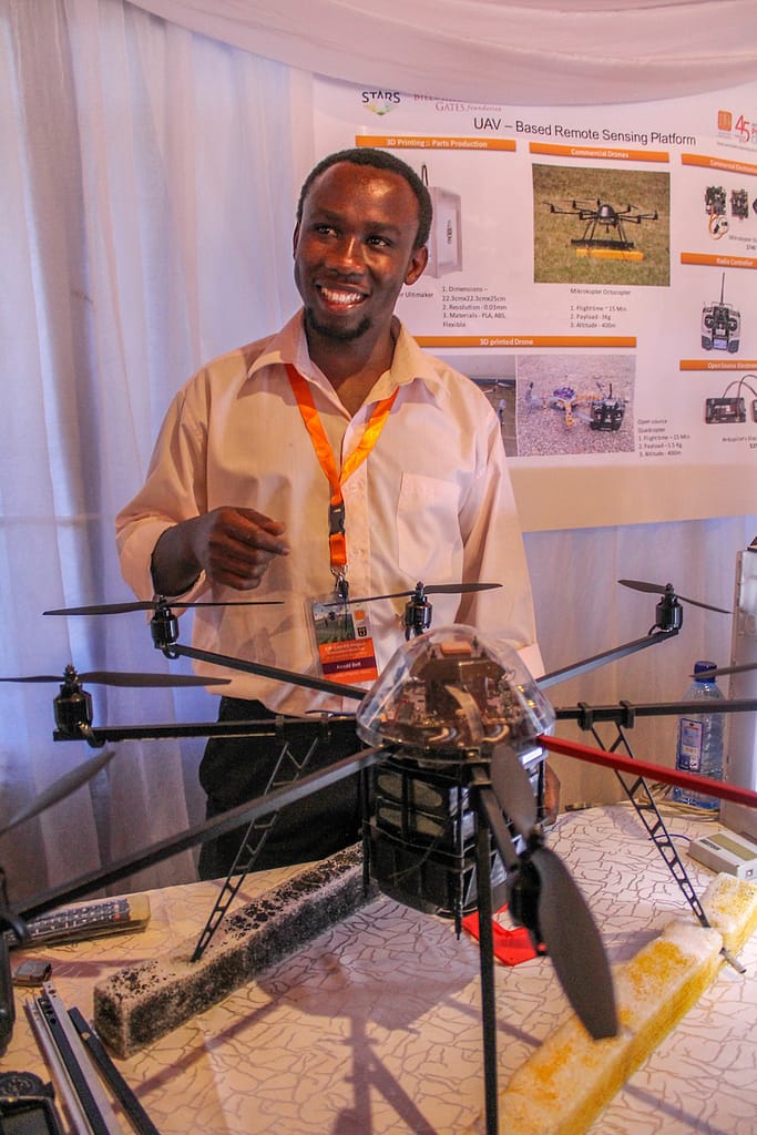
The African Drone and Data Academy highlighted the importance of enabling communities to generate data themselves. By training local practitioners to build and operate drones, they have supported AI-powered image classification. Using image classification, they have mapped links between vegetation patterns and malaria transmission, created cholera vulnerability maps to guide water, sanitation and hygiene (WASH) infrastructure investments and assessed disaster damage in real time.
This approach shifts remote-sensing data from an external analytical exercise into a locally-grounded decision-support tool — focusing technology back on the people impacted the most.
Responsible AI is not optional in fragile and conflict-affected settings
With technological promise comes heightened responsibility. In fragile and conflict-affected settings, the consequences of error, bias or misuse are amplified. The humanitarian principle of do-no-harm must extend to algorithms, data pipelines, interface design — and, in fact, each line of code and every data point collected.
This means starting with values and goals that go beyond technical capability. As IWMI’s McTough noted, “Language is not neutral in AI-enabled systems. If the ‘core language’ assumes literacy, dominant dialects or technical jargon, the tool can quietly exclude the very people it is meant to serve.”
Beyond the FLEX webinar, this same issue was recently discussed at the UK Foreign, Commonwealth and Development Office, SAFE AI Roundtable on building a responsible AI framework for humanitarian action. This discussion is crucial because in conflict-affected contexts, even seemingly neutral data about water resources or agricultural patterns can carry security implications. Decisions about what data is collected, how much is collected, and who has access to it and how they are using it, are, therefore, just as important as the analysis itself.
As climate change intensifies water stress in fragile settings, the gap between technical potential and operational reality becomes increasingly untenable. AI and smart tools offer genuine promise, but only when paired with humility, contextual awareness and responsible governance. Thus, we ultimately find that effective digital innovation is not about deploying more technology, but about reshaping how information flows, who controls it and how it connects to timely action.


