IWMI at World Water Week 2020
This year we step in to a virtual World Water Week from our homes. World Water Week 2020 is planned around the theme “Water and Climate Change: Accelerating Action”.
Water is not just a central part of the problem – it is also a central focus for adaptive solutions. It is with this focus that we launched our #water4climate campaign this year in line with World Water Day.
The virtual adaptation of #WWWeek follows suit to bring together a broad range of convenor-hosted sessions on water and climate with IWMI co-hosting and taking part in several.
The event, organized by the Stockholm International Water Institute (SIWI), provides an opportunity for scientists, policy makers and representatives of the private sector and civil society to foster new thinking and collaborative action on today’s most pressing water-related challenges.
|
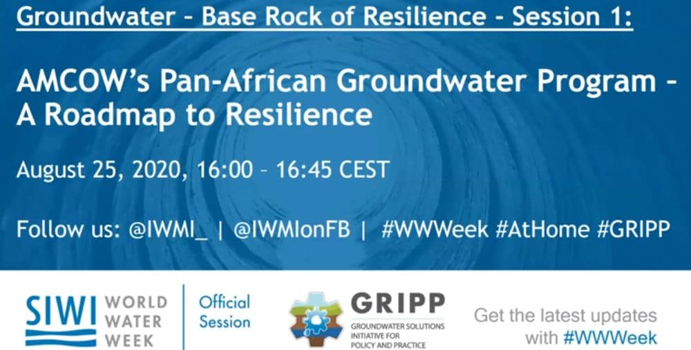
Tuesday 25 August
(16:00-16:45) |
 |
|
Tuesday 25 August (17:00–17:45)
|
|
|
Wednesday 26 August
(11:00–11:45) |
|
|
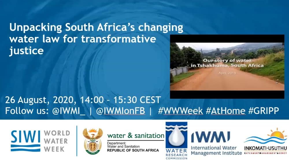
Wednesday 26 August
(14:00-15:30) |
Unpacking South Africa’s changing water law for transformative justiceCo-hosted by IWMI
|
 |
|
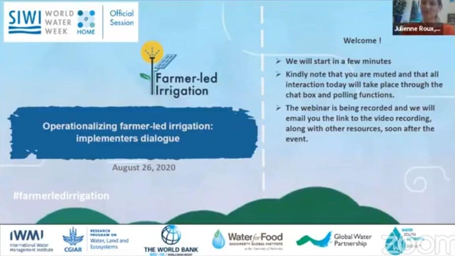
Wednesday 26 August (17:00-17.45)
|
Operationalizing farmer-led irrigation: implementers dialogueCo-hosted by IWMI
|
 |
I am WaterIf we can manage water better, we can adapt to climate change. Across Asia, Africa and the Middle East, IWMI and partners research and develop evidence-based water solutions for a…
|
Claudia Sadoff at COP25 High-Level SegmentHear Dr. Claudia Sadoff, Director General, International Water Management Institute, address the 2019 COP25 High-Level Segment in Madrid.
|
Claudia Sadoff at COP25 High-Level SegmentHear Dr. Claudia Sadoff, Director General, International Water Management Institute, address the 2019 COP25 High-Level Segment in Madrid.
|
View more videos from IWMI at https://www.youtube.com/iwmimedia